INFORMATION
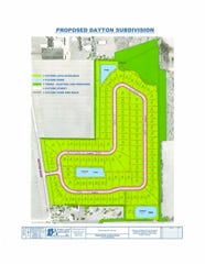
The subdivision proposal first presented in December of 2016 can be found at the link. It has not changed since it was presented. Note that the financial information is inaccurate.
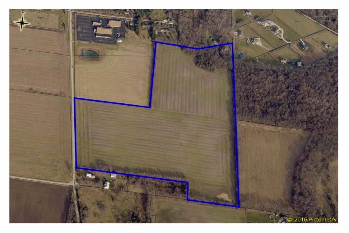
The county GIS map shows the Jan Inc parcel as 49.55 Acres.
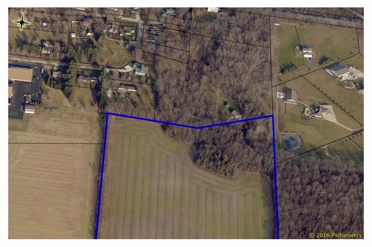
The Jan, Inc property in relation to the Stevenson property. Notice the Stevenson’s pole barn and cabin just above the blue line (on the right).
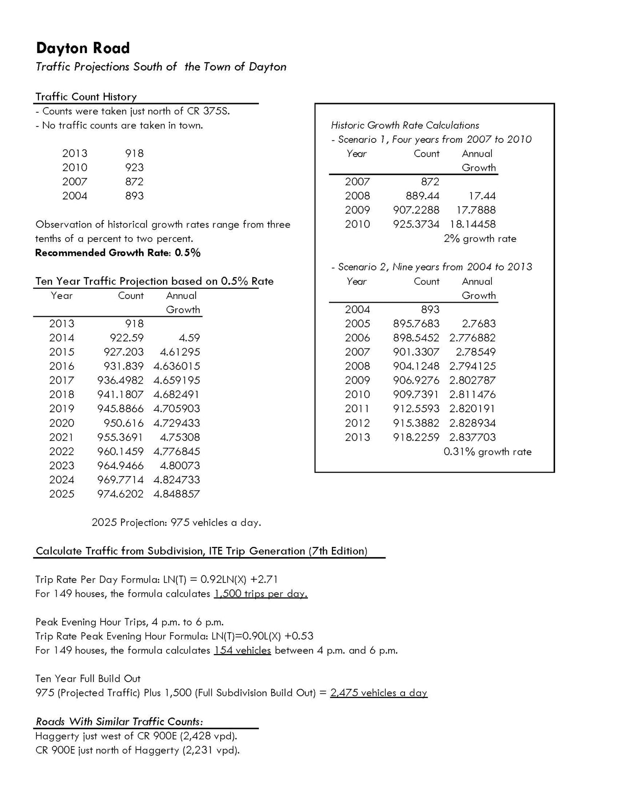
The 2015 traffic projection by Area Plan was based on 149 new homes south of the Church. Adjusting the numbers accordingly, it predicts 1100 additional trips per day for 110 homes.
The Fiscal Plan which was adopted by the Dayton Town Council does not reveal who is paying to extend the utility lines. The price of extending the utilities has no relationship to the “Cost Recovery Fees”. Beware of those trying to conflate the two. The cost recovery fees are based on a set formula and, once the subdivision is 100% built out, will reach approximately $160,000. Unofficial estimates predict the cost could reach $500,000. The Cost Recovery Fees are the ONLY financial obligation of the developers, and are unrelated to extending the utilities. The Fiscal Plan can be found here: